

Carte topographique Dikchu
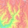
Cliquez sur la carte pour afficher l’altitude.
Dikchu
Located at 27°24′06″N 88°31′28″E / 27.4016°N 88.5245°E / 27.4016; 88.5245 in Gangtok district, topography is hilly with two river belts i.e river Teesta and river Dikchu.
À propos de cette carte
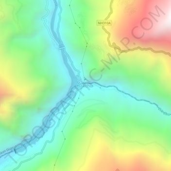
Nom : Carte topographique Dikchu, altitude, relief.
Lieu : Dikchu, Gangtok district, Sikkim, 737107, India (27.38222 88.50242 27.42222 88.54242)
Altitude moyenne : 1 074 m
Altitude minimum : 536 m
Altitude maximum : 2 078 m
Autres cartes topographiques
Cliquez sur une carte pour visualiser sa topographie, son altitude et son relief.
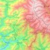
Mangan
Mangan is the largest of the six districts of Sikkim. The landscape is mountainous with dense vegetation all the way up to the alpine altitude before thinning out to desert scrub towards the northern tundra. Numerous waterfalls astride the main road make the trip to this district extremely picturesque.
Altitude moyenne : 4 407 m

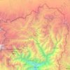
West Sikkim District
West Sikkim (now officially named as Geyzing District) is a district of the Indian state of Sikkim. Its headquarter is Geyzing, also known as Gyalshing. The district is a favourite with trekkers due to the high elevations. Other important towns include Pelling and Yuksom. Local people also call it as…
Altitude moyenne : 2 686 m
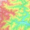



Gurudongmar
India > Sikkim > Chungthang
Gurudongmar Lake is one of the highest lakes in the world and in India, at an elevation of 5,430 m (17,800 ft) according to the Government of Sikkim. It is located in the Great Himalayas in the Mangan District in Indian state of Sikkim, and considered sacred by Buddhists and Sikhs. The lake is named after…
Altitude moyenne : 5 232 m


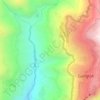


Gyalshing
Gyalshing district or Geyzing district is a district of the Indian state of Sikkim. Its headquarter is Geyzing, also known as Gyalshing. The district is a favourite among trekkers due to the high elevations. Other important towns include Pelling and Yuksom. Local people also call it as Pallo-Sikkim and…
Altitude moyenne : 3 139 m
Mangan
Mangan is the largest of the six districts of Sikkim. The landscape is mountainous with dense vegetation all the way up to the alpine altitude before thinning out to desert scrub towards the northern tundra. Numerous waterfalls astride the main road make the trip to this district extremely picturesque.
Altitude moyenne : 4 407 m
