
Carte topographique Methven
Carte interactive
Cliquez sur la carte pour afficher l’altitude.
À propos de cette carte
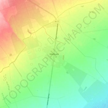
Nom : Carte topographique Methven, altitude, relief.
Lieu : Methven, Ashburton District, Canterbury, 7730, New Zealand (-43.67243 171.60726 -43.59243 171.68726)
Altitude moyenne : 322 m
Altitude minimum : 270 m
Altitude maximum : 396 m
Methven (Māori: Piwakawaka) is a small town in the Canterbury region of the South Island of New Zealand. It is located near the western edge of the Canterbury Plains, 35 km (22 mi) north of Ashburton and 95 km (59 mi) west of Christchurch, and at an elevation of 320 m (1,050 ft). The town is a service centre for agriculture in the surrounding area, and is a base for skiing at the nearby Mount Hutt skifield. The town slogan is "Amazing Space".
Autres cartes topographiques
Cliquez sur une carte pour visualiser sa topographie, son altitude et son relief.
Mount Alford
New Zealand > Canterbury > Ashburton District
Mount Alford, Ashburton District, Canterbury, New Zealand
Altitude moyenne : 806 m
Wheatstone
New Zealand > Canterbury > Ashburton District
Wheatstone, Ashburton District, Canterbury, New Zealand
Altitude moyenne : 47 m
Ashburton
New Zealand > Canterbury > Ashburton District > Ashburton
Ashburton, Ashburton District, Canterbury, 7700, New Zealand
Altitude moyenne : 99 m