
Carte topographique La Place
Carte interactive
Cliquez sur la carte pour afficher l’altitude.
À propos de cette carte
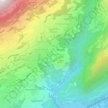
Nom : Carte topographique La Place, altitude, relief.
Lieu : La Place, Ayent, Ering, Wallis, 1966, Schweiz (46.25479 7.39169 46.29479 7.43169)
Altitude moyenne : 954 m
Altitude minimum : 497 m
Altitude maximum : 1 830 m
Autres cartes topographiques
Cliquez sur une carte pour visualiser sa topographie, son altitude et son relief.