
Carte topographique Bilt
Carte interactive
Cliquez sur la carte pour afficher l’altitude.
À propos de cette carte
Nom : Carte topographique Bilt, altitude, relief.
Altitude moyenne : 25 m
Altitude minimum : 17 m
Altitude maximum : 36 m
Autres cartes topographiques
Cliquez sur une carte pour visualiser sa topographie, son altitude et son relief.
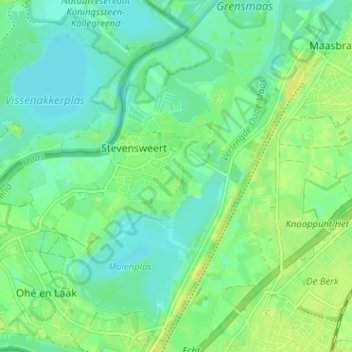
Stevensweert
Nederland > Limburg > Maasgouw > Stevensweert
Stevensweert, Maasgouw, Limburg, Nederland
Altitude moyenne : 25 m