
Carte topographique เขตลาดพร้าว
Carte interactive
Cliquez sur la carte pour afficher l’altitude.
À propos de cette carte
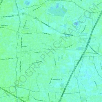
Nom : Carte topographique เขตลาดพร้าว, altitude, relief.
Lieu : เขตลาดพร้าว, Bangkok, 10230, Thailand (13.79483 100.58823 13.84926 100.63701)
Altitude moyenne : 4 m
Altitude minimum : -2 m
Altitude maximum : 7 m
Autres cartes topographiques
Cliquez sur une carte pour visualiser sa topographie, son altitude et son relief.
minburi park
Thailand > Bangkok > เขตมีนบุรี
minburi park, แขวงมีนบุรี, มีนบุรี, เขตมีนบุรี, Bangkok, 10510, Thailand
Altitude moyenne : 4 m