
Carte topographique Tinderry
Carte interactive
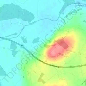
Cliquez sur la carte pour afficher l’altitude.
À propos de cette carte
Nom : Carte topographique Tinderry, altitude, relief.
Altitude moyenne : 123 m
Altitude minimum : 99 m
Altitude maximum : 183 m
Autres cartes topographiques
Cliquez sur une carte pour visualiser sa topographie, son altitude et son relief.
Holycross
Holycross, The Municipal District of Thurles, County Tipperary, Munster, Ireland
Altitude moyenne : 99 m
Mother Mountain
Mother Mountain, The Municipal District of Nenagh, County Tipperary, Munster, Ireland
Altitude moyenne : 368 m
The Municipal District of Nenagh
The Municipal District of Nenagh, County Tipperary, Munster, Ireland
Altitude moyenne : 116 m
Glenreagh
Glenreagh, Killea, The Municipal District of Thurles, County Tipperary, Munster, Ireland
Altitude moyenne : 262 m