
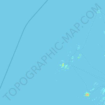
Carte topographique Træna
Carte interactive
Cliquez sur la carte pour afficher l’altitude.
À propos de cette carte
Nom : Carte topographique Træna, altitude, relief.
Lieu : Træna, Nordland, Norway (66.31275 11.29777 66.81537 12.43543)
Altitude moyenne : 0 m
Altitude minimum : -3 m
Altitude maximum : 560 m
Autres cartes topographiques
Cliquez sur une carte pour visualiser sa topographie, son altitude et son relief.
Bodø - Bådåddjo
Bodø - Bådåddjo, Bodø, Nordland, 8005, Norway
Altitude moyenne : 74 m
Haukland Beach
Haukland Beach, Sjøbakken, Vestvågøy, Nordland, Norway
Altitude moyenne : 103 m
Ballangen - Bálák
Ballangen - Bálák, Narvik, Nordland, Norway
Altitude moyenne : 91 m
Sulitjelma - Sulisjielmmá
Sulitjelma - Sulisjielmmá, Fauske, Nordland, Norway
Altitude moyenne : 379 m