
Carte topographique Mount Morungole
Carte interactive
Cliquez sur la carte pour afficher l’altitude.
À propos de cette carte
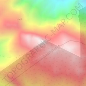
Nom : Carte topographique Mount Morungole, altitude, relief.
Lieu : Mount Morungole, Kaabong, Northern Region, Uganda (3.81446 34.03188 3.81456 34.03198)
Altitude moyenne : 2 388 m
Altitude minimum : 1 707 m
Altitude maximum : 2 722 m
Autres cartes topographiques
Cliquez sur une carte pour visualiser sa topographie, son altitude et son relief.