
Carte topographique Tashkorgan Town
Carte interactive
Cliquez sur la carte pour afficher l’altitude.
À propos de cette carte
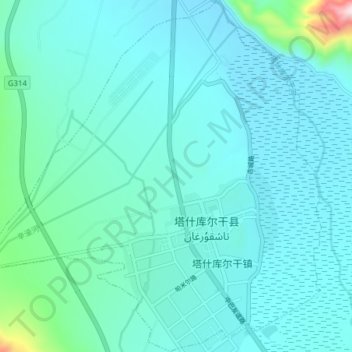
Nom : Carte topographique Tashkorgan Town, altitude, relief.
Altitude moyenne : 3 109 m
Altitude minimum : 3 046 m
Altitude maximum : 3 712 m
Aurel Stein argued that, judging from the topography and remains found around Tashkurgan, the fort and associated settlements had clearly been central to the broader Sarikol area, controlling routes from the Oxus to the oases of southern Turkestan.[13]
Autres cartes topographiques
Cliquez sur une carte pour visualiser sa topographie, son altitude et son relief.
Dafdar
China > Xinjiang > Taxkorgan Tajik Autonomous County
Dafdar, Taxkorgan Tajik Autonomous County, Kashgar Prefecture, Xinjiang, China
Altitude moyenne : 4 416 m
Gasherbrum II
China > Xinjiang > Taxkorgan Tajik Autonomous County
Gasherbrum II, Taxkorgan Tajik Autonomous County, Kashgar Prefecture, Xinjiang, China
Altitude moyenne : 7 098 m