
Carte topographique Chatham
Carte interactive
Cliquez sur la carte pour afficher l’altitude.
À propos de cette carte
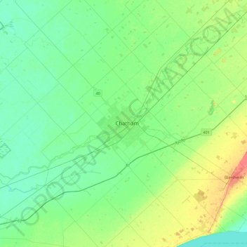
Nom : Carte topographique Chatham, altitude, relief.
Lieu : Chatham, Chatham-Kent, Ontario, N7L 1B7, Canada (42.24521 -82.35147 42.56521 -82.03147)
Altitude moyenne : 183 m
Altitude minimum : 170 m
Altitude maximum : 218 m