
Carte topographique Thanh Da Peninsula
Carte interactive
Cliquez sur la carte pour afficher l’altitude.
À propos de cette carte
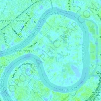
Nom : Carte topographique Thanh Da Peninsula, altitude, relief.
Altitude moyenne : 3 m
Altitude minimum : -3 m
Altitude maximum : 10 m
Autres cartes topographiques
Cliquez sur une carte pour visualiser sa topographie, son altitude et son relief.
Ward 24
Ward 24, Binh Thanh District, 720000, Vietnam
Altitude moyenne : 7 m