
Carte topographique Dells of the Wisconsin River State Natural Area
Carte interactive
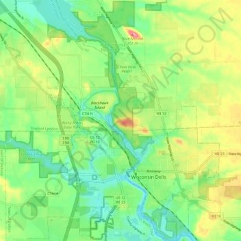
Cliquez sur la carte pour afficher l’altitude.
À propos de cette carte
Nom : Carte topographique Dells of the Wisconsin River State Natural Area, altitude, relief.
Altitude moyenne : 282 m
Altitude minimum : 244 m
Altitude maximum : 343 m