
Carte topographique Doorwerth
Carte interactive
Cliquez sur la carte pour afficher l’altitude.
À propos de cette carte
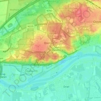
Nom : Carte topographique Doorwerth, altitude, relief.
Lieu : Doorwerth, Renkum, Geldern, Niederlande (51.95899 5.74630 51.99179 5.82004)
Altitude moyenne : 25 m
Altitude minimum : 0 m
Altitude maximum : 68 m