
Carte topographique Hậu Giang Province
Carte interactive
Cliquez sur la carte pour afficher l’altitude.
À propos de cette carte
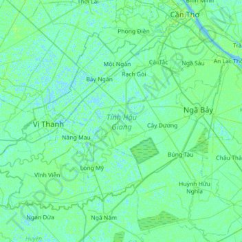
Nom : Carte topographique Hậu Giang Province, altitude, relief.
Lieu : Hậu Giang Province, Vietnam (9.58215 105.32852 9.99412 105.89681)
Altitude moyenne : 3 m
Altitude minimum : -4 m
Altitude maximum : 12 m
Autres cartes topographiques
Cliquez sur une carte pour visualiser sa topographie, son altitude et son relief.
Lung Ngoc Hoang Nature Reserve
Vietnam > Hậu Giang Province > Phụng Hiệp District > Phương Lạc
Lung Ngoc Hoang Nature Reserve, Đường tỉnh 927, Phương Lạc, Phụng Hiệp District, Hậu Giang Province, Vietnam
Altitude moyenne : 3 m
Kênh Sáu Sanh
Vietnam > Hậu Giang Province > Cây Dương
Kênh Sáu Sanh, Cây Dương, Phụng Hiệp District, Hậu Giang Province, Vietnam
Altitude moyenne : 3 m