
Carte topographique Shahin Shahr
Carte interactive
Cliquez sur la carte pour afficher l’altitude.
Shahin Shahr
The city is among the central mountain ranges of Iran to the east of the Zagros Mountains. It has an altitude of 1662 meters on average with a slope of 16%. It has a dry climate with very little precipitation. The variation in temperature is about 50 degrees Celsius.
À propos de cette carte
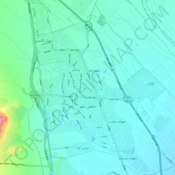
Nom : Carte topographique Shahin Shahr, altitude, relief.
Altitude moyenne : 1 601 m
Altitude minimum : 1 583 m
Altitude maximum : 1 709 m