
Carte topographique Agivey River
Carte interactive
Cliquez sur la carte pour afficher l’altitude.
À propos de cette carte
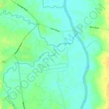
Nom : Carte topographique Agivey River, altitude, relief.
Altitude moyenne : 9 m
Altitude minimum : 0 m
Altitude maximum : 26 m
Autres cartes topographiques
Cliquez sur une carte pour visualiser sa topographie, son altitude et son relief.
Tullymacnous
Reino Unido > Northern Ireland > Killyleagh
Tullymacnous, Killyleagh, County Down, Northern Ireland, Reino Unido
Altitude moyenne : 22 m
Low Wood
Reino Unido > Northern Ireland > Belfast
Low Wood, Belfast, County Antrim, Northern Ireland, Reino Unido
Altitude moyenne : 64 m
Lough Neagh
Reino Unido > Northern Ireland > Lisburn
Lough Neagh, Lisburn, County Antrim, Northern Ireland, Reino Unido
Altitude moyenne : 29 m