
Carte topographique Torenberg
Carte interactive
Cliquez sur la carte pour afficher l’altitude.
À propos de cette carte
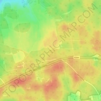
Nom : Carte topographique Torenberg, altitude, relief.
Lieu : Torenberg, Apeldoorn, Gelderland, Nederland, 7346AA, Nederland (52.23457 5.85783 52.23467 5.85793)
Altitude moyenne : 93 m
Altitude minimum : 62 m
Altitude maximum : 110 m
Autres cartes topographiques
Cliquez sur une carte pour visualiser sa topographie, son altitude et son relief.
Paleis het Loo
Nederland > Gelderland > Apeldoorn
Paleis het Loo, Achterstoep, Apeldoorn, Gelderland, Nederland, 7315 JA, Nederland
Altitude moyenne : 22 m
Kijkuit
Nederland > Gelderland > Apeldoorn
Kijkuit, Apeldoorn, Gelderland, Nederland, 7345CB, Nederland
Altitude moyenne : 24 m