
Carte topographique Laksar
Carte interactive
Cliquez sur la carte pour afficher l’altitude.
À propos de cette carte
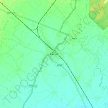
Nom : Carte topographique Laksar, altitude, relief.
Lieu : Laksar, Haridwar, Uttarakhand, India (29.70744 77.98381 29.78744 78.06381)
Altitude moyenne : 238 m
Altitude minimum : 232 m
Altitude maximum : 249 m
Laksar has an average elevation of 227 metres (745 feet). It is situated between the towns of Khanpur and Sultanpur, and close to the towns of Pathri, Jhabrera and Roorkee in Haridwar district.