
Carte topographique Khe Sanh
Carte interactive
Cliquez sur la carte pour afficher l’altitude.
À propos de cette carte
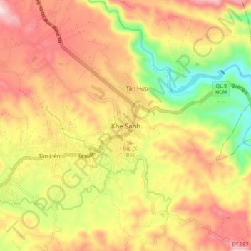
Nom : Carte topographique Khe Sanh, altitude, relief.
Lieu : Khe Sanh, Hướng Hóa District, Quang Tri province, Vietnam (16.58959 106.69768 16.66959 106.77768)
Altitude moyenne : 386 m
Altitude minimum : 65 m
Altitude maximum : 666 m