
Carte topographique Jingpo Lake
Carte interactive
Cliquez sur la carte pour afficher l’altitude.
Jingpo Lake
In the southern side of the lake, there are river deltas formed in the estuary of Mudan River and its tributaries. This topography supports a large number of plankton to survive, so it is suitable for the growth of fish. There are various kinds of freshwater fish in Jingpo Lake. The most famous one is Red-tailed fish, also known as White Cloud Mountain minnow (Tanichthys albonubes).
À propos de cette carte
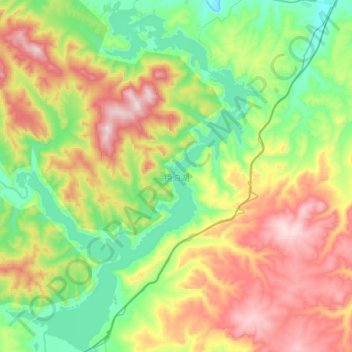
Nom : Carte topographique Jingpo Lake, altitude, relief.
Altitude moyenne : 523 m
Altitude minimum : 290 m
Altitude maximum : 909 m