
Carte topographique จังหวัดร้อยเอ็ด
Carte interactive
Cliquez sur la carte pour afficher l’altitude.
À propos de cette carte
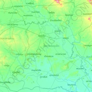
Nom : Carte topographique จังหวัดร้อยเอ็ด, altitude, relief.
Lieu : จังหวัดร้อยเอ็ด, Thaïlande (15.40497 103.29526 16.47277 104.35593)
Altitude moyenne : 146 m
Altitude minimum : 116 m
Altitude maximum : 409 m