
Carte topographique Alandi
Cliquez sur la carte pour afficher l’altitude.
Alandi
Alandi (18°40′37.42″N 73°53′47.76″E / 18.6770611°N 73.8966000°E / 18.6770611; 73.8966000) is located on the bank of the Indrayani River, 18.8 km (11.7 mi) from Khed Taluka of Pune District, near the northern edge of the city of Pune. Alandi has an average elevation of 577 meters (1,893 feet).
À propos de cette carte
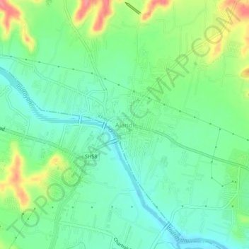
Nom : Carte topographique Alandi, altitude, relief.
Lieu : Alandi, Khed, Pune District, Maharashtra, 412105, India (18.65724 73.87811 18.69724 73.91811)
Altitude moyenne : 578 m
Altitude minimum : 552 m
Altitude maximum : 631 m
Autres cartes topographiques
Cliquez sur une carte pour visualiser sa topographie, son altitude et son relief.