
Carte topographique East European Plain
Carte interactive
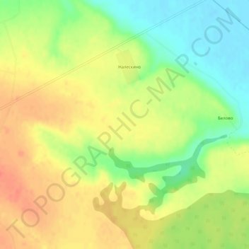
Cliquez sur la carte pour afficher l’altitude.
À propos de cette carte
Nom : Carte topographique East European Plain, altitude, relief.
Altitude moyenne : 115 m
Altitude minimum : 88 m
Altitude maximum : 136 m
The East European Plain covers all or most of the Baltic states,[1] Belarus, Ukraine, Moldova, Romania, and European Russia. The plain spans approximately 4,000,000 km2 (2,000,000 sq mi) and averages about 170 m (560 ft) in elevation. The highest point of the plain, located in the Valdai Hills, is 346.9 metres (1,138.1 ft).[citation needed]