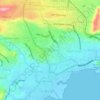
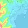
Carte topographique Sunda Strait
Cliquez sur la carte pour afficher l’altitude.
Sunda Strait
The strait is dotted by a number of islands, many of which are volcanic in origin. They include: Sangiang (Thwart-the-Way), Sebesi, Sebuku, and Panaitan (Prince's). The most famous volcano, however, is Krakatoa, which exploded in 1883 in one of the deadliest and most destructive eruptions in recorded history. The islands in the strait and the nearby surrounding regions of Java and Sumatra were devastated in that eruption, primarily due to intense pumice fall and huge tsunamis caused by the collapse of the volcano. The eruption drastically altered the topography of the strait, with as much as 18–21 km³ of ignimbrite being deposited over an area of 1.1 million km² around the volcano. Some areas, such as the coastal region of Java now incorporated into the Ujung Kulon National Park, have never been resettled, but much of the coastline is now very densely populated. Aside from Krakatoa's sole remaining peak, Rakata, the Krakatoa Archipelago consists of the islands of Lang (Panjang or Rakata Kecil), Verlaten (Sertung), and most recently, Anak Krakatau, which emerged in 1927 from the original Krakatoa's shattered remains.
À propos de cette carte
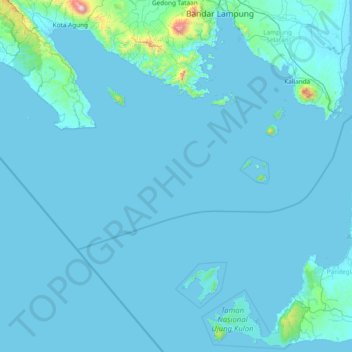
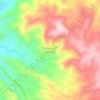
Nom : Carte topographique Sunda Strait, altitude, relief.
Lieu : Sunda Strait, Lampung, Indonesia (-6.83600 104.53122 -5.44529 106.04101)
Altitude moyenne : 44 m
Altitude minimum : -1 m
Altitude maximum : 1 969 m
Autres cartes topographiques
Cliquez sur une carte pour visualiser sa topographie, son altitude et son relief.