
Carte topographique Low Tatras National Park
Carte interactive
Cliquez sur la carte pour afficher l’altitude.
À propos de cette carte
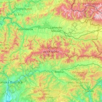
Nom : Carte topographique Low Tatras National Park, altitude, relief.
Altitude moyenne : 890 m
Altitude minimum : 294 m
Altitude maximum : 2 405 m