
Carte topographique 't Zand
Carte interactive
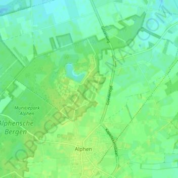
Cliquez sur la carte pour afficher l’altitude.
À propos de cette carte
Nom : Carte topographique 't Zand, altitude, relief.
Altitude moyenne : 22 m
Altitude minimum : 16 m
Altitude maximum : 27 m
Autres cartes topographiques
Cliquez sur une carte pour visualiser sa topographie, son altitude et son relief.
Looneind
Nederland > Noord-Brabant > Alphen
Looneind, Alphen, Alphen-Chaam, Noord-Brabant, Nederland, 5131 RK, Nederland
Altitude moyenne : 22 m
Recreatiepark ‘t Zand
Nederland > Noord-Brabant > Alphen > 't Zand
Recreatiepark ‘t Zand, 't Zand, Alphen, Alphen-Chaam, Noord-Brabant, Nederland
Altitude moyenne : 22 m