
Carte topographique Kampung Alor Bemban
Carte interactive
Cliquez sur la carte pour afficher l’altitude.
À propos de cette carte
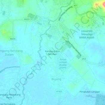
Nom : Carte topographique Kampung Alor Bemban, altitude, relief.
Lieu : Kampung Alor Bemban, Bujang, Kuala Muda, Kedah, Malaysia (5.68005 100.41327 5.72005 100.45327)
Altitude moyenne : 13 m
Altitude minimum : 0 m
Altitude maximum : 99 m