
Carte topographique Bloemfontein
Carte interactive
Cliquez sur la carte pour afficher l’altitude.
À propos de cette carte
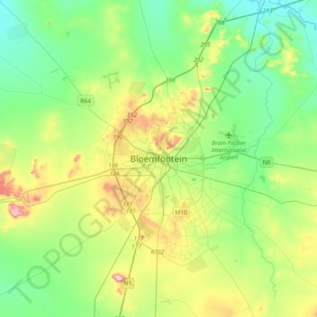
Nom : Carte topographique Bloemfontein, altitude, relief.
Altitude moyenne : 1 374 m
Altitude minimum : 1 283 m
Altitude maximum : 1 593 m
Situated at an elevation of 1,395 m (4,577 ft) above sea level, the city is home to 256,185 (as of 2011) residents and forms part of the Mangaung Metropolitan Municipality which has a population of 747,431. It was one of the host cities for the 2010 FIFA World Cup.