
Carte topographique Kalayaan
Carte interactive
Cliquez sur la carte pour afficher l’altitude.
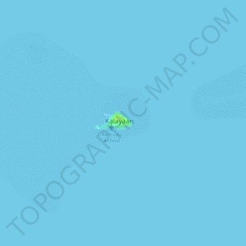
Kalayaan
The islets that comprise the municipality are generally flat. The highest ground elevation is approximately two meters above sea level.
À propos de cette carte
Nom : Carte topographique Kalayaan, altitude, relief.
Lieu : Kalayaan, Palawan, Mimaropa, 5322, Philippines (11.01354 114.24517 11.09354 114.32517)
Altitude moyenne : 0 m
Altitude minimum : 0 m
Altitude maximum : 8 m