
Carte topographique Doylestown
Carte interactive
Cliquez sur la carte pour afficher l’altitude.
À propos de cette carte
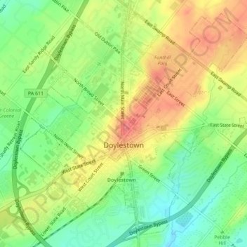
Nom : Carte topographique Doylestown, altitude, relief.
Altitude moyenne : 108 m
Altitude minimum : 74 m
Altitude maximum : 143 m
An electric telegraph station was built in 1846, and the North Pennsylvania Railroad completed a branch to Doylestown in 1856. The first gas lights were introduced in 1854. Because of the town's relatively high elevation and a lack of strong water power, substantial industrial development never occurred and Doylestown evolved to have a professional and residential character.