
Carte topographique The Carousel
Cliquez sur la carte pour afficher l’altitude.
À propos de cette carte
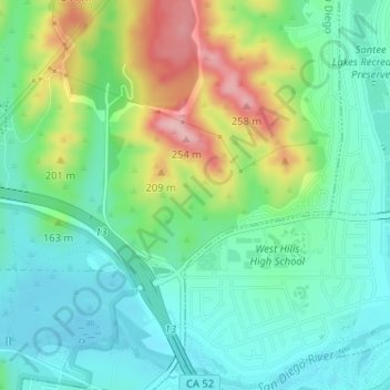
Nom : Carte topographique The Carousel, altitude, relief.
Altitude moyenne : 137 m
Altitude minimum : 85 m
Altitude maximum : 251 m
Autres cartes topographiques
Cliquez sur une carte pour visualiser sa topographie, son altitude et son relief.
Lake Murray Reservoir
United States > California > San Diego County > San Diego > San Carlos
Altitude moyenne : 178 m
Los Peñasquitos Canyon Preserve
United States > California > San Diego County > San Diego > Sorrento Valley
Altitude moyenne : 95 m
Cabrillo National Monument
United States > California > San Diego County > San Diego
The Old Point Loma Lighthouse is the highest point in the park and has been a San Diego icon since 1855. The lighthouse was closed in 1891, and the New Point Loma Lighthouse opened at a lower elevation, as fog and low clouds often obscured the light at its location 129 meters (422 feet) above sea level. The…
Altitude moyenne : 13 m
Mission Trails Regional Park
United States > California > San Diego County > San Diego > San Carlos
Altitude moyenne : 178 m
Torrey Pines State Natural Reserve
United States > California > San Diego County > San Diego
Altitude moyenne : 37 m