
Carte topographique Johnston Island
Carte interactive
Cliquez sur la carte pour afficher l’altitude.
À propos de cette carte
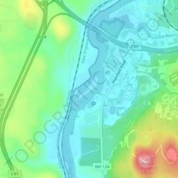
Nom : Carte topographique Johnston Island, altitude, relief.
Lieu : Johnston Island, Lebanon, Grafton County, New Hampshire, USA (43.62311 -72.33225 43.62719 -72.32768)
Altitude moyenne : 145 m
Altitude minimum : 94 m
Altitude maximum : 285 m