
Carte topographique Province of Virú
Carte interactive
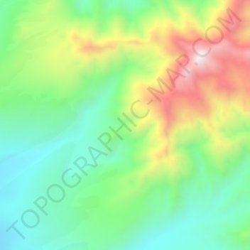
Cliquez sur la carte pour afficher l’altitude.
À propos de cette carte
Nom : Carte topographique Province of Virú, altitude, relief.
Lieu : Province of Virú, Chao, Virú, La Libertad, Peru (-8.55239 -78.58703 -8.51239 -78.54703)
Altitude moyenne : 606 m
Altitude minimum : 333 m
Altitude maximum : 1 077 m