
Carte topographique Senaki
Carte interactive
Cliquez sur la carte pour afficher l’altitude.
Senaki
Senaki (Georgian: სენაკი; Mingrelian: სანაკი) is a town in Samegrelo-Zemo Svaneti region, western Georgia. It is located at around 42°16′8″N 42°4′45″E / 42.26889°N 42.07917°E / 42.26889; 42.07917 between the rivers Tekhura/i and Tsivi, at an elevation of 28–38 meters above sea level. Senaki is the center of the Senaki Municipality and serves as a residence of Metropolitans of Senaki and Ckhorotskhu Eparchy of the Georgian Apostolic Autocephalous Orthodox Church.
À propos de cette carte
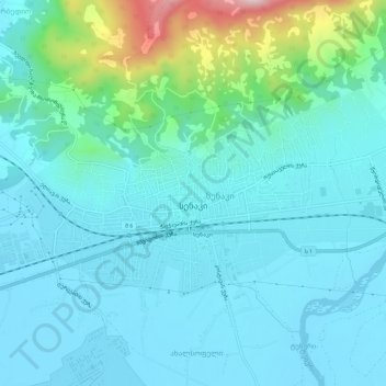
Nom : Carte topographique Senaki, altitude, relief.
Altitude moyenne : 80 m
Altitude minimum : 14 m
Altitude maximum : 412 m