
Carte topographique Castledown
Carte interactive
Cliquez sur la carte pour afficher l’altitude.
À propos de cette carte
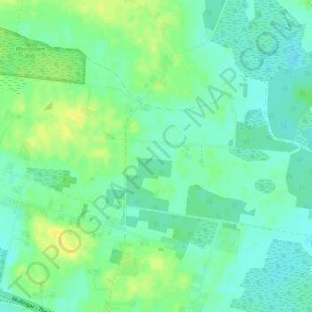
Nom : Carte topographique Castledown, altitude, relief.
Altitude moyenne : 97 m
Altitude minimum : 88 m
Altitude maximum : 110 m
Autres cartes topographiques
Cliquez sur une carte pour visualiser sa topographie, son altitude et son relief.
Athlone
Athlone, County Westmeath, Leinster, Ireland
Altitude moyenne : 43 m
Mullingar
Ireland > County Westmeath > Mullingar
Mullingar, The Municipal District of Mullingar — Kinnegad, County Westmeath, Leinster, N91 FY58, Ireland
Altitude moyenne : 101 m