
Carte topographique Urbanización Augusto Bedoya
Carte interactive
Cliquez sur la carte pour afficher l’altitude.
À propos de cette carte
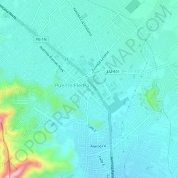
Nom : Carte topographique Urbanización Augusto Bedoya, altitude, relief.
Lieu : Urbanización Augusto Bedoya, Puente Piedra, Lima, 22, Peru (-11.88763 -77.09389 -11.84763 -77.05389)
Altitude moyenne : 201 m
Altitude minimum : 157 m
Altitude maximum : 440 m