
Carte topographique Island Lake
Carte interactive
Cliquez sur la carte pour afficher l’altitude.
À propos de cette carte
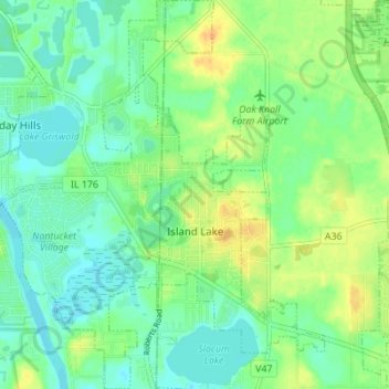
Nom : Carte topographique Island Lake, altitude, relief.
Lieu : Island Lake, Lake County, Illinois, 60042, USA (42.25545 -88.22652 42.30633 -88.16914)
Altitude moyenne : 233 m
Altitude minimum : 221 m
Altitude maximum : 251 m