
Carte topographique Tablelands
Cliquez sur la carte pour afficher l’altitude.
À propos de cette carte
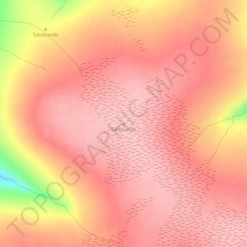
Nom : Carte topographique Tablelands, altitude, relief.
Lieu : Tablelands, Newfoundland, Newfoundland and Labrador, Canada (49.44619 -57.99406 49.44629 -57.99396)
Altitude moyenne : 687 m
Altitude minimum : 569 m
Altitude maximum : 720 m
Autres cartes topographiques
Cliquez sur une carte pour visualiser sa topographie, son altitude et son relief.
Bell Island
Canada > Newfoundland and Labrador > Wabana
The coast is very rocky and consists almost entirely of steep cliffs tens of meters high that tower up to 45 kilometres (28 mi) above sea level. The island, which continues to gain in altitude especially close to the coastline, reaches a maximum height of 148 metres (486 ft). Because the central part of the…
Altitude moyenne : 30 m
Clarenville
Canada > Newfoundland and Labrador
The Clarenville area has many of the physical features characteristic of the East Coast of Newfoundland and has a marine climate. It lies along the coastal slopes which rise from the Atlantic Ocean towards the interior central plateau of the island. The dominating physical feature is a ridge of broken peaks…
Altitude moyenne : 102 m