
Carte topographique ESTADIO
Carte interactive
Cliquez sur la carte pour afficher l’altitude.
À propos de cette carte
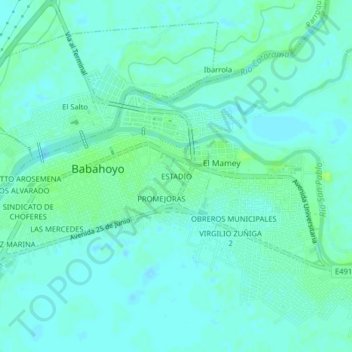
Nom : Carte topographique ESTADIO, altitude, relief.
Lieu : ESTADIO, Babahoyo, Los Ríos, 120102, Ecuador (-1.82179 -79.54487 -1.78179 -79.50487)
Altitude moyenne : 7 m
Altitude minimum : 3 m
Altitude maximum : 14 m
Autres cartes topographiques
Cliquez sur une carte pour visualiser sa topographie, son altitude et son relief.
Rio Babahoyo
Ecuador > Los Ríos > Babahoyo > Babahoyo > El Desquite
Rio Babahoyo, El Desquite, Babahoyo, Parroquia Pimocha, Babahoyo, Los Ríos, Ecuador
Altitude moyenne : 7 m