
Carte topographique Red Earth Creek
Carte interactive
Cliquez sur la carte pour afficher l’altitude.
À propos de cette carte
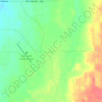
Nom : Carte topographique Red Earth Creek, altitude, relief.
Altitude moyenne : 549 m
Altitude minimum : 526 m
Altitude maximum : 584 m
Red Earth Creek is a hamlet in Alberta, Canada within the Municipal District of Opportunity No. 17. It is located east of Highway 88, between the Town of Slave Lake and the Hamlet of Fort Vermilion, and has an elevation of 520 metres (1,710 ft).