
Carte topographique Alpine
Cliquez sur la carte pour afficher l’altitude.
Alpine
It sits on both sides of Interstate 8 at the eastern extent of the California coastal region and the western extent of the Peninsular Ranges, about 30 miles east of downtown San Diego, at an elevation of about 2,000 feet.
À propos de cette carte
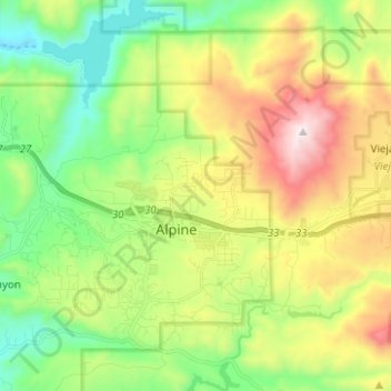
Nom : Carte topographique Alpine, altitude, relief.
Lieu : Alpine, San Diego County, California, 91901, United States (32.79892 -116.81959 32.88910 -116.69466)
Altitude moyenne : 581 m
Altitude minimum : 170 m
Altitude maximum : 1 272 m