

Carte topographique Tumakuru
Cliquez sur la carte pour afficher l’altitude.
Tumakuru
Another story says that during the rule of cholas Gulur was their capital. Since Tumkur is at high elevation the guards used to be there on any hill with tumaki (a kind of drum) and used to make sound in case of any alerts, hence the name. The Indian central government approved the request to officially rename the Tumkur and 12 other cities in October 2014. The city officially became "Tumakuru" on 1 November 2014.
À propos de cette carte
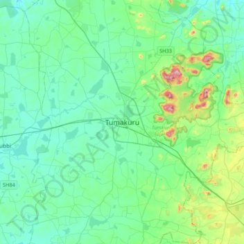
Nom : Carte topographique Tumakuru, altitude, relief.
Lieu : Tumakuru, Tumkur taluk, Tumakuru, Karnataka, 572101, India (13.18008 76.94062 13.50008 77.26062)
Altitude moyenne : 838 m
Altitude minimum : 752 m
Altitude maximum : 1 243 m