
Carte topographique St. Valentin - S. Valentino
Carte interactive
Cliquez sur la carte pour afficher l’altitude.
À propos de cette carte
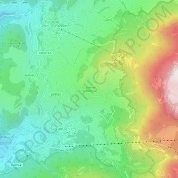
Nom : Carte topographique St. Valentin - S. Valentino, altitude, relief.
Altitude moyenne : 1 237 m
Altitude minimum : 815 m
Altitude maximum : 2 071 m