
Carte topographique Harlowton
Carte interactive
Cliquez sur la carte pour afficher l’altitude.
Harlowton
The Upper Musselshell River Valley is named for the Musselshell River, which got its name from the large number of freshwater mussels found in its river bed. In the fall and winter weather, the bison would migrate to the lower altitudes along the Musselshell River. Early plains hunters, taking advantage of the large bison population, frequented this area. Some of the tribes that traveled through the area were the Crow, Blackfeet, Flathead, Gros Ventre, Northern Cheyenne, Nez Perce, Shoshones, Sioux, and Assiniboine.
À propos de cette carte
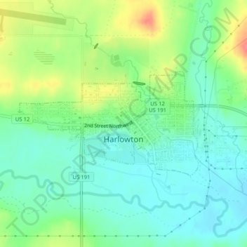
Nom : Carte topographique Harlowton, altitude, relief.
Lieu : Harlowton, Wheatland County, Montana, United States (46.43090 -109.85193 46.44233 -109.82353)
Altitude moyenne : 1 286 m
Altitude minimum : 1 264 m
Altitude maximum : 1 327 m