
Carte topographique Ål
Carte interactive
Cliquez sur la carte pour afficher l’altitude.
À propos de cette carte
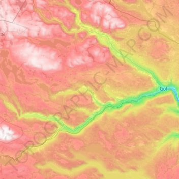
Nom : Carte topographique Ål, altitude, relief.
Lieu : Ål, Viken, Norway (60.47050 7.77517 60.92405 8.84388)
Altitude moyenne : 1 023 m
Altitude minimum : 192 m
Altitude maximum : 1 854 m
The Bergen Line, the rail line between Oslo and Bergen runs through Ål. Ål Station has an elevation of 436 meters (1,430 ft) and is the halfway station on the Bergen Line.
Autres cartes topographiques
Cliquez sur une carte pour visualiser sa topographie, son altitude et son relief.