
Carte topographique Thanh Lãng
Carte interactive
Cliquez sur la carte pour afficher l’altitude.
À propos de cette carte
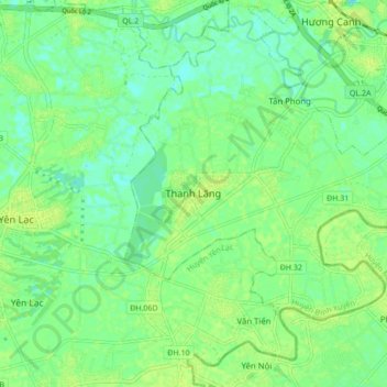
Nom : Carte topographique Thanh Lãng, altitude, relief.
Lieu : Thanh Lãng, Bình Xuyên District, Vĩnh Phúc Province, Vietnam (21.20169 105.57638 21.28169 105.65638)
Altitude moyenne : 10 m
Altitude minimum : 3 m
Altitude maximum : 16 m