
Carte topographique Ngwathe Ward 13
Carte interactive
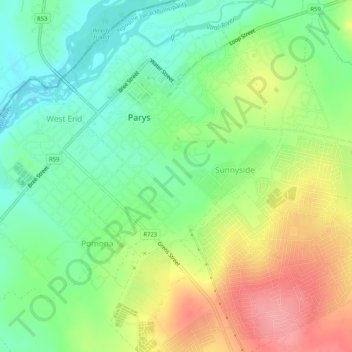
Cliquez sur la carte pour afficher l’altitude.
À propos de cette carte
Nom : Carte topographique Ngwathe Ward 13, altitude, relief.
Altitude moyenne : 1 407 m
Altitude minimum : 1 366 m
Altitude maximum : 1 467 m
Autres cartes topographiques
Cliquez sur une carte pour visualiser sa topographie, son altitude et son relief.
Ngwathe Ward 18
RSA > Free State > Ngwathe Local Municipality
Ngwathe Ward 18, Ngwathe Local Municipality, Fezile Dabi District Municipality, Free State, RSA
Altitude moyenne : 1 443 m