
Carte topographique Long Cay
Carte interactive
Cliquez sur la carte pour afficher l’altitude.
À propos de cette carte
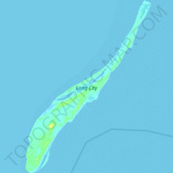
Nom : Carte topographique Long Cay, altitude, relief.
Lieu : Long Cay, Crooked Island and Long Cay, The Bahamas (22.54076 -74.38157 22.66734 -74.28199)
Altitude moyenne : 0 m
Altitude minimum : -2 m
Altitude maximum : 20 m
Autres cartes topographiques
Cliquez sur une carte pour visualiser sa topographie, son altitude et son relief.
Goat Cay
The Bahamas > Crooked Island and Long Cay
Goat Cay, Crooked Island and Long Cay, The Bahamas
Altitude moyenne : 0 m
Cabbage Hill Settlement
The Bahamas > Crooked Island and Long Cay
Cabbage Hill Settlement, Crooked Island and Long Cay, The Bahamas
Altitude moyenne : 7 m