

Carte topographique Visakhapatnam
Cliquez sur la carte pour afficher l’altitude.
Visakhapatnam
The city is situated between the Eastern Ghats and the Bay of Bengal. The city coordinates lies between 17.7041 N and 83.2977 E. The city's area is 682 km2. The average elevation is 45 metres. Visakhpatnam is situated in Coastal Andhra Region.
À propos de cette carte
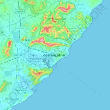
Nom : Carte topographique Visakhapatnam, altitude, relief.
Altitude moyenne : 35 m
Altitude minimum : -3 m
Altitude maximum : 513 m
Autres cartes topographiques
Cliquez sur une carte pour visualiser sa topographie, son altitude et son relief.

