
Carte topographique Пригородный
Carte interactive
Cliquez sur la carte pour afficher l’altitude.
À propos de cette carte
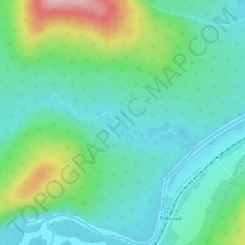
Nom : Carte topographique Пригородный, altitude, relief.
Altitude moyenne : 551 m
Altitude minimum : 495 m
Altitude maximum : 713 m
Autres cartes topographiques
Cliquez sur une carte pour visualiser sa topographie, son altitude et son relief.
Аячи
Rusland > Oblast Amoer > Аячи
Аячи, городское поселение Ерофей Павлович, Сковородинский район, Oblast Amoer, Federaal District Verre Oosten, Rusland
Altitude moyenne : 629 m
Благовещенск
Rusland > Oblast Amoer > Благовещенск
Благовещенск, городской округ Благовещенск, Oblast Amoer, Federaal District Verre Oosten, Rusland
Altitude moyenne : 170 m